‎Émile Van Der Vekene‎
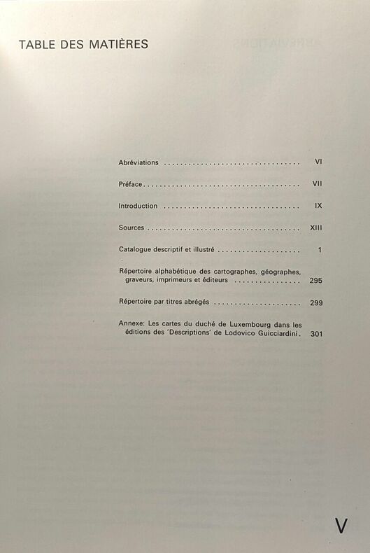
‎Les cartes géographiques du duché du Luxembourg éditées aux XVIe XVIIe et XVIIIe siècles - catalogue descriptif et illustré‎

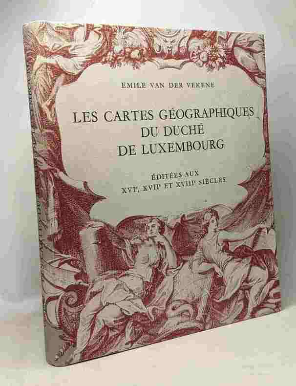
‎Imprimerie Saint-Paul / Luxembourg 1975 in4. 1975. Cartonné. iconographie en noir et blanc‎

Reference : 100086869


‎couverture un peu défraîchie 4e plat ternie qq frottements intérieur frais bonne tenue par ailleurs‎

€60.00 (€60.00 )
Bookseller's contact details

Un Autre Monde
M. Emmanuel Arnaiz

contact@crealivres.com

07.69.73.87.31

Contact bookseller

Payment mode
Cheque
Transfer
Others
Sale conditions

Conformes aux usages de la librairie ancienne.

Contact bookseller about this book

Enter these characters to validate your form.
*
Send

1 book(s) with the same title

‎Van der Vekene, Emile:‎

Reference : 28887AB

(1975)

‎Les cartes géographiques du Duché de Luxembourg. Editées aux XVIe, XVIIe et XVIIIe siècles. Catalogue descriptif et illustré.‎

‎Luxemburg, Editions de l'imprimerie Saint-Paul, Société anonyme, 1975. 4°. 301 S. Mit zahlr. Illustr. nach antiken Vorlagen. Illustr. Orig.-Leinenbd. (bestossen u. fleckig).‎


EOS Buchantiquariat Benz - CH-8001 Zürich
Logo ILAB

Phone number : 41 (0)44 261 57 50

CHF80.00 (€81.88 )
Get it on Google Play Get it on AppStore
The item was added to your cart
You have just added :

-

There are/is 0 item(s) in your cart.
Total : €0.00
(without shipping fees)
What can I do with a user account ?

What can I do with a user account ?

  • All your searches are memorised in your history which allows you to find and redo anterior searches.
  • You may manage a list of your favourite, regular searches.
  • Your preferences (language, search parameters, etc.) are memorised.
  • You may send your search results on your e-mail address without having to fill in each time you need it.
  • Get in touch with booksellers, order books and see previous orders.
  • Publish Events related to books.

And much more that you will discover browsing Livre Rare Book !