Write to the booksellers
COLLECTIF
MAPPA N° 7
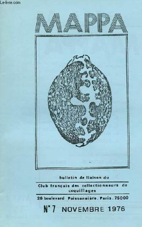
CHEZ L'AUTEUR. NOVEMBRE 1976. In-12. Broché. Bon état, Couv. convenable, Dos satisfaisant, Intérieur frais. 38 pages. Quelques illustrations en noir et blanc dans le texte. Une fiche du Cypraea Fultono Sowerby avec une photos en couleurs contre-collée.. . . . Classification Dewey : 549-Minéralogie
Reference : RO30101664
Classification Dewey : 549-Minéralogie
Bookseller's contact details
Le-livre.fr / Le Village du Livre
ZI de Laubardemont
33910 Sablons
France
05 57 411 411
Payment mode


Sale conditions
Les ouvrages sont expédiés à réception du règlement, les cartes bleues, chèques , virements bancaires et mandats cash sont acceptés. Les frais de port pour la France métropolitaine sont forfaitaire : 6 euros pour le premier livre , 2 euros par livre supplémentaire , à partir de 49.50 euros les frais d'envoi sont de 8€ pour le premier livre et 2€ par livre supplémentaire . Pour le reste du monde, un forfait, selon le nombre d'ouvrages commandés sera appliqué. Tous nos envois sont effectués en courrier ou Colissimo suivi quotidiennement.
5 book(s) with the same title
Cultures - Volume VIII, No 1, 1981 : A history of mass culture and the media - Eucentrism and its effects on surrounding and European countries (Sophie Mappa) - Forty years of Spanish culture ( Pio Rodriguez) - Some basic characteristics of Bulgarian
Unesco. 1981. In-8. Broché. Bon état, Couv. convenable, Dos satisfaisant, Intérieur frais. 163 pages augmentées de quelqsues illustrations en noir et blanc, hors texte.. . . . Classification Dewey : 70.49-Presse illustrée, magazines, revues
Sommaire : A history of mass culture and the media - Eucentrism and its effects on surrounding and European countries (Sophie Mappa) - Forty years of Spanish culture ( Pio Rodriguez) - Some basic characteristics of Bulgarian television and radio ( Valentin Pelachkev) Classification Dewey : 70.49-Presse illustrée, magazines, revues


Reference : albbc318a7f0184da97
Map of the Kuban region. Mappa sistens regionem Cuba. In Russian (ask us if in d
Map of the Kuban region. Mappa sistens regionem Cuba. In Russian (ask us if in doubt)/Karta regiona Kuban. Mappa sistens regionem Cuban.I.F. Trescothick. Language: LatIn. NecklIn e by K. Frolov. (In Russian). Decorative map engraved on copper (etch cutter). ColorIn g by watercolor of the epoch. St. Petersburg. 1783. 1 sheet of engravIn g. SKUalbbc318a7f0184da97.
La mappa mundi d'albi. Culture géographique et représentation du monde au haut moyen âge
<meta charset="utf-8"><span data-mce-fragment="1">La Mappa mundi d'Albi constitue l'un des exemplaires les plus anciens de représentation du monde en Occident. La cartographie antique n'est en effet connue que par des descriptions textuelles et des copies plus tardives. Ce document cartographique exceptionnel (inscrit en 2015 au registre Mémoire du monde de l'Unesco) ne se présente pas seul : il est conservé dans un manuscrit de parchemin, constituant un recueil de vingt-deux textes, copiés et reliés ensemble vers la fin du VIIIe siècle et conservé depuis dans le fonds de la bibliothèque du chapitre de la cathédrale d'Albi.</span><br data-mce-fragment="1"><span data-mce-fragment="1">Bien que connus des spécialistes et souvent cités, la Mappa mundi d'Albi et le manuscrit dans lequel elle se trouve n'ont jamais fait l'objet d'une recherche approfondie. Les articles du présent volume proposent d'aborder l'étude du manuscrit dans son environnement médiéval, ouvrant des pistes pour des recherches futures et soulignant des points de méthode. Il s'agit tout d'abord d'une interrogation sur le contexte historique et intellectuel du manuscrit et les preuves avancées pour sa datation. Il est question de la persistance des modèles cartographiques antiques, des possibilités matérielles de leur transmission et de leur réception à Albi, et du lien entre la mappemonde et les textes qui l'accompagnent. La comparaison avec d'autres mappemondes et d'autres ouvrages géographiques du haut Moyen Âge permet de mieux comprendre les usages de cette image du monde dans le contexte monastique du chapitre d'Albi et plus largement, de l'essor intellectuel de l'Occident médiéval à l'aube de la Renaissance carolingienne.</span> Paris, 2022 Sorbonne 288 p., nombreuses illustrations de couleurs, broché. 16 x 24
Neuf
Reference : albba1ca04f865520c8
Mappa Fluvii Irtisz Partem Meridionalem Gubernii Sibiriensis perfluentis cum P
Mappa Fluvii Irtisz Partem Meridionalem Gubernii Sibiriensis perfluentis cum Pristino Territorio Stirpis Kalmukorum Songarice Auctore Johanne Islenieff Vigiliarum Praefecto/Karta reki Irtysh yuzhnoy chasti Sibirskoy gubernii prezhnikh zemel' kalmykov Short description: In Russian (ask us if in doubt).Engraved by E. Khudyakov. Copper engraving original watercolor. 1777. Sheet 540x760 mm. We have thousands of titles and often several copies of each title may be available. Please feel free to contact us for a detailed description of the copies available. SKUalbba1ca04f865520c8
Fra Mauro's Mappa mundi and Fifteenth-Century Venice ,
Turnhout, Brepols, 2011 Hardback, 470 p., 3 b/w ill. 16 colour ill., 210 x 270 mm. ISBN 9782503523781.
Fra Mauro's mappamundi, drawn around 1450 in the monastery of San Michele on Murano in the lagoon of Venice, is among the most relevant compendia of knowledge of the Earth and the Cosmos of the fifteenth century. By examining literary, visual, textual and archival evidences, some long considered lost, this book places the map within the larger context of Venetian culture in the fifteenth century. It provides a detailed analysis of both its main sources (auctores veteres such as Pliny, Solinus, Ptolemy, and novi, like Albert the Great, Thomas Aquinas, Marco Polo and Niccolo de' Conti) as well as of the composite networks of contemporary knowledge (scholasticism, humanism, monastic culture, as well as more technical skills such as marine cartography and mercantile practices), investigating the way they combine in the epistemological unity of the imago mundi. More a work on intellectual history than cartography, the book constructs a complex set of frameworks within which to situate Fra Mauro's monumental effort. These range from the cultural history of the reception of the world map from the fifteenth to the nineteenth centuries to the analysis of the material conditions under which map-makers such as Fra Mauro worked; from the history of ideas, especially of natural philosophy to the links between world representations and travel literature. It also addresses the Venetian reception of Ptolemy's Geography, the interactions between Venetian art, theology and cosmography and the complexities of the Venetian vernacular. The books develops a multi-tiered approach, in which different elements of the rich cultural context in which this world map was created, interact with each other, each casting a new light on the encyclopaedic work being analyzed. Terrarum Orbis (TO 8). New