 Write to the booksellers
"ATLAS DEUTSCHLAND - ATLAS GERMANY - ATLAS ALLEMAGNE.
Carte topographique et militaire de L'Allemagne en 204 Feuilles.... (Topographisch-militairischen Charte von Teutschland in 204 Blaettern).
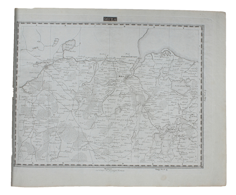
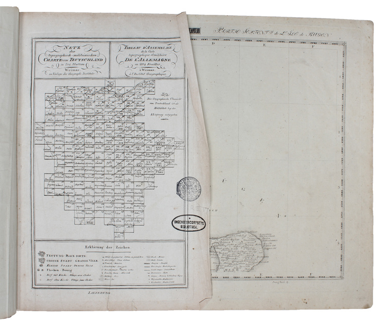
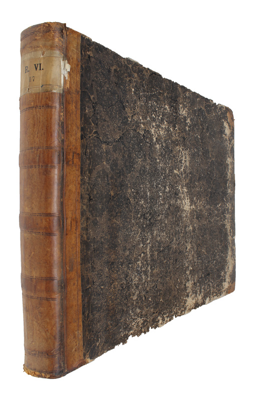
Weimar, Geographischen Instituts, 1807-13. Folio-oblong. (38 x 48 cm.). Contemp hcalf. Spine a little rubbed. A paperlabel pasted on upper part of spine. Corners bumped. Stamp on ""Netz-Karte""/ ""Tableau"". With 3 other ""Netz-Karte"" on verso of Sect. 3,11 a. 14. The engraved title-page (in French) present as Sect. 10. With all 204 engraved plates (203 maps). The maps clean and fine throughout.
Reference : 55735
€3,345.74
(€3,345.74
)
Bookseller's contact details
Herman H. J. Lynge & Son
William Schneider
Silkegade 11
1113 Copenhagen
Denmark
+45 33 155 335
Payment mode
Cheque
Transfer
Others
Sale conditions
All items may be returned for a full refund for any reason within 14 days of receipt.