 Write to the booksellers
DUFOUR AUGUSTE HENRI. (1798-1865).
CARTE TOPOGRAPHIQUE DU MASSIF D’ALGER, OU SAHHEL & DE LA PLAINE DE LA METIDJA INDIQUANT TOUT CE QUI A ETE FONDE DEPUIS L’OCCUPATION FRANCAISE ET LA CIRCONSCRIPTION DES DISTRICTS ET COMMUNES. DRESSEE AU 1/150000° PAR A. H. DUFOUR, GEOGRAPHE.
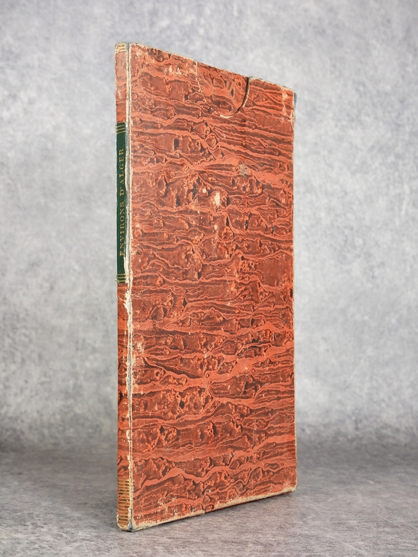
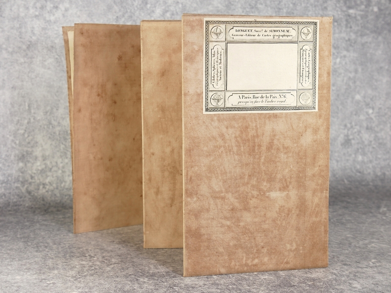
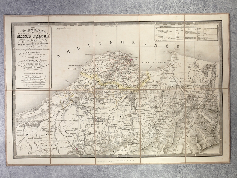
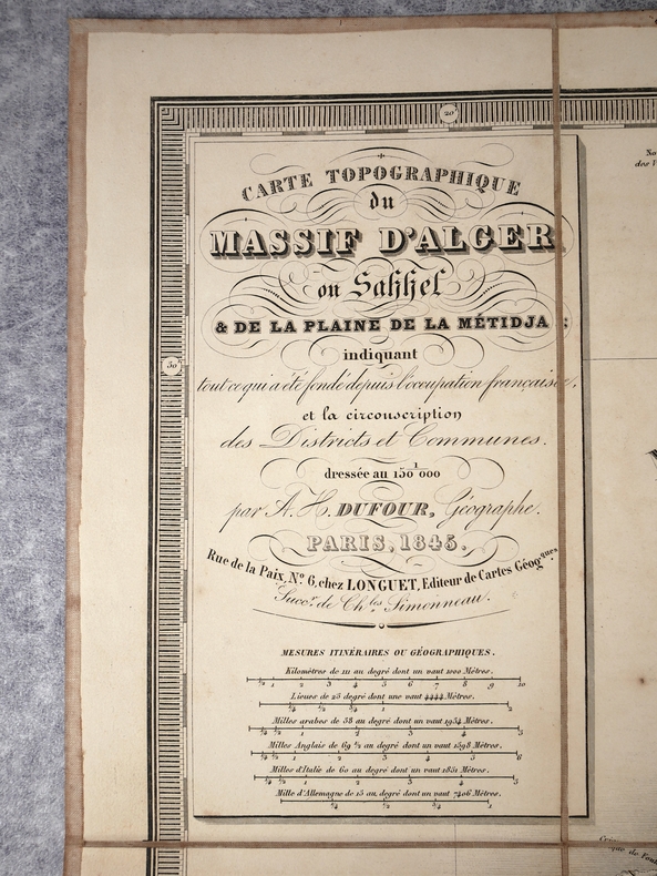
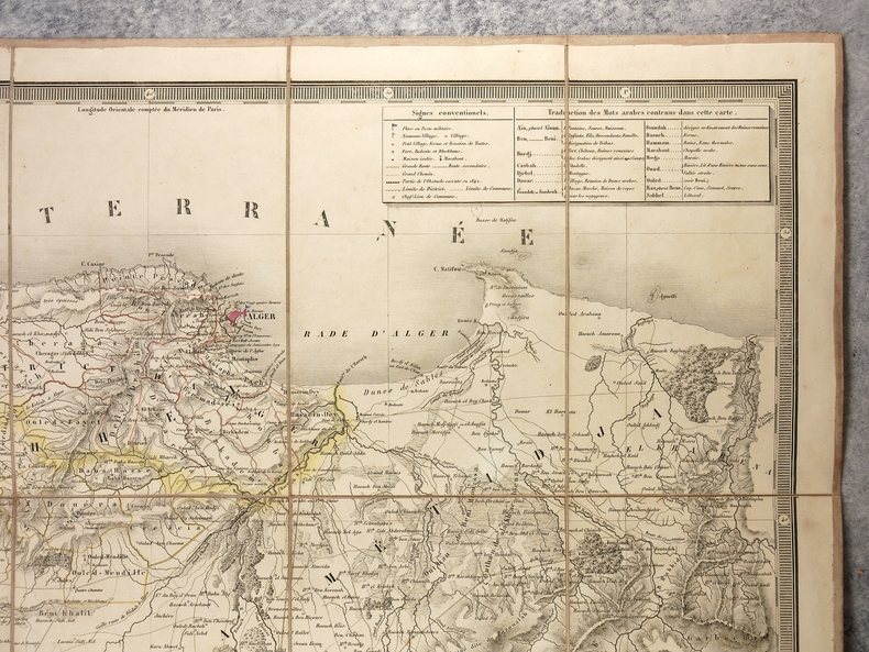
PARIS. CHEZ LONGUET, EDITEUR DE CARTES GEOGRAPHIQUES. 1845. CARTE GEOGRAPHIQUE REHAUSSEE EN COULEURS, ENTOILEE (59 X 39,5 CENTIMETRES ENVIRON), GRAVEE SUR CUIVRE ET REPLIEE EN ACCORDEON EN 10 PARTIES (12 X 20 X 2 CENTIMETRES ENVIRON, SOUS CHEMISE ET ETUI CARTONNES DE L’EDITEUR RECOUVERTS DE PAPIER MARBRE, TITRE DORE «ENVIRONS D’ALGER» SUR ETIQUETTE MAROQUIN VERT AU DOS DE L’ETUI. PETITS DEFAUTS AU NIVEAU DE L’ETUI, SINON CARTE EN TRES BEL ETAT.
Reference : 3134
€120.00
Bookseller's contact details
Librairie du Château de Capens
M. Xavier Ottavi
Château de Capens
31410 Capens
France
05 61 87 90 67
Payment mode
Cheque
Transfer
Others
Sale conditions
au comptant à la commande<br />